The Qing Dynasty Map
The Qing Dynasty Map
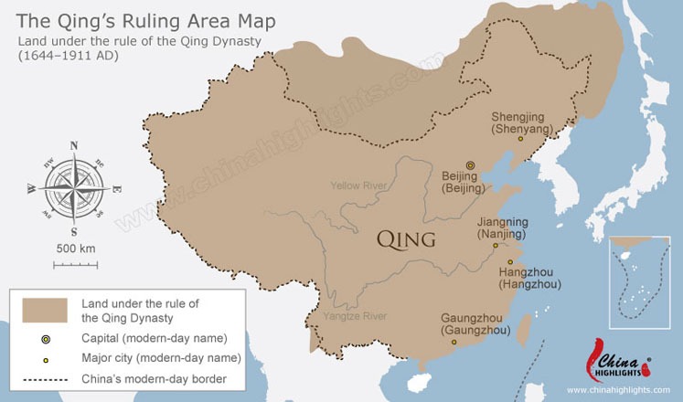
This map shows the land area of the Qing Dynasty (1644 – 1911), the capital city of Beijing, and the modern-day borders of China and Mongolia.
WIKI FOR PROJECTS INFORMATIONS AND LEARNING RECORDER.
This map shows the land area of the Qing Dynasty (1644 – 1911), the capital city of Beijing, and the modern-day borders of China and Mongolia.

Leave a Reply
You must be logged in to post a comment.